Using GIS Maps for Planning of Services
GIS Maps for Planning of Services Dissertation – This final year BSc project was undertaken in an effort to produce a system that would aid town planners with the placement of service points at optimal locations within a geographic area, as well as provide some extra features that include an interactive Graphical User Interface and a Route Planner.
This report presents a solution to the above problem, which is to use clustering algorithms to place the service points at optimal locations in relation to the houses in the geographical area, and use Dijkstra’s algorithm to implement the route planner. The report is broken down into the four main sections for any software engineering project; Design, Implementation, Testing and Results. Each major function of the system is described fully and screenshots of the final system are also included.
A planner using the proposed system will need to choose which of the three factors are most important. The planner might be unsure which one to choose, so he must be able to compare different solutions. Three charts will be used to display the three factors mentioned above. These should be bar charts, using one bar for each service point, so that the user can know at a glance how optimal the solution is.
The system will need to produce solutions from real data. Geographical Information Systems exist that contain a database about geographical areas of the UK. This information will need to be imported from the database to the system for the user to use.
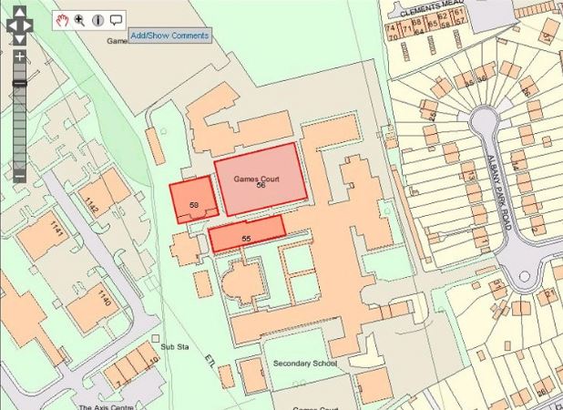
A digital Ordinance Survey image will also need to be used to display the solution in a real world context, but should be able to be taken away to eliminate the extra clutter the map displays, leaving the user with just house and service point data.
The system will also need to support an interactive GUI to enable the user to interact with the proposed solution. A suggested placement of a service point in the middle of a river or lake is obviously an impossible solution to implement, so the user should be able to move the proposed location to somewhere where building the service point is feasible. The user should also be able to add and remove service points to customize the solution so his/her wishes.
- 10,000 words – 140 pages in length
- Expertly written throughout
- Excellent analysis
- Good use of models and theory
- Includes JAVA coding
- Ideal for computer science and IT students
1. Introduction
The Main Objective
Additional Features
Report Overview
2. Background and Literature Survey
Clustering Algorithms
K-Means Clustering
Lloyd’s Algorithm
Voronoi Diagrams
K-Max Clustering
Incremental Version
Performance Improvements
Route Planning Algorithms
Dijkstra’s Algorithm
3. Design
Requirements Analysis
System Design
4. Implementation
Optimal Placement Algorithms
Voronoi Diagram
K-Means Algorithm
K-Max Algorithm
Supermarket Algorithm
Graphical User Interface
Route Planner
5. Testing
Glass Box Testing
Static Testing
Dynamic Testing
Optimal Placement Testing
Route Planner Testing
Black Box Testing
Test Results
6. Results
Opening Screens
Optimal Placement Mode
Tools Frame
Solution Frame
Route Planner Mode
7. Conclusion and Evaluation
Evaluation
Performance Improvements
Usability Improvements
Appendix Section
References

